Advances in technology have radically changed an industry once guided by a seafarer's intuition and secrets handed from generation to generation. Today, the best fishermen are as skilled with a laptop as they are with a rod and reel…
The first boat I ever skippered did 7.5 knots with a tailwind, had chain steering, a compass and an old school paper sounder. Catching fish was as much good luck as it was good management.
These day’s, with satellites to spot the fish and guide you to spot x, devices to see birds through clouds and fish in the murkiest of depths, luck has little to do with fishing success.
Study the charts
As a young skipper on the vessel mentioned above, I spent hours studying paper charts searching for clues to the hiding places of the fish species I was paid to catch. While the technology of information delivery has changed, the principles haven’t.
There are two main types of chart: hydrographic and bathymetric, both are available in paper and electronic versions.

This hydrogrpahic chart is a screen shot from a cellphone running the Navionics app. In can also be viewed in a bathymetric version.
Hydrographic
Hydrographic charts are commonly referred to as navigational charts and are primarily used for that purpose. They contain a level detail considered essential for navigation but not so much for fishing.
I still find hydrographic charts extremely useful for fishing as in some areas, such as those near land structures, the detail available exceeds that on a bathymetric version.
Bathymetric

Bathymetric charts are avaiiable on most modern navigation units.
Bathymetric charts are the offshore fisherman’s bible. Those who have never used bathymetric charts before are amazed at the new fishing grounds magically appearing before their eyes.
I advise studying bathymetric charts with enthusiasm. Look for new rocks and pay particular attention to how the current would be effected as it flows over or around the structure. The steep side of any structure most likely bears the full force of the current and therefore holds most the fish.
NEVER use bathymetric charts for navigation.
Sources of charting data
Paper versions of these charts can be purchased at many marine chandleries. Boat Books (Boatbooks.co.nz) is the best source of paper charts. On-board electronic navigational systems will usually have a hydrographic chart and often a bathymetric version built-in or as part of any externally loaded data card. Navionics is the best known supplier. Navionics also offers an excellent app service and website allowing research to be done at home.
NOTE: Always keep paper charts on board a vessel. Electronic navigation devices are hugely convenient but do fail.

Sonar technology
As is probably true for 90% of fishermen, the image I see on the sounder module is the final box ticker in my decision to fish a specific location. This is not to say that a comparatively empty screen means I won’t fish or that a full screen guarantees fish but it is an important part of the bigger picture and it used to confirm the fishing scenario indicated by other signs.
Pattern recognition
Regardless of the technology installed the most important skill in using a sounder is pattern recognition; in other words, the ability to decipher the picture and use the information to get a result.
Pattern recognition is difficult to teach. A good place to start is to pay attention to the target shapes regularly associated with good fishing as well as the place in the water column productive targets are regularly marked.
For example, when using the standard blue/red colour tone, strong snapper marks can be categorized by defined eyebrows in the bottom quarter of the water column. The redder the mark the stronger the indication, which is defined by either the size of the fish or how centered it was in relation to the transducer. A faint blue mark might still be a big fish; you may have just skimmed the edge of it with the transducer, or it could be in very deep water reducing the strength of the return signal.
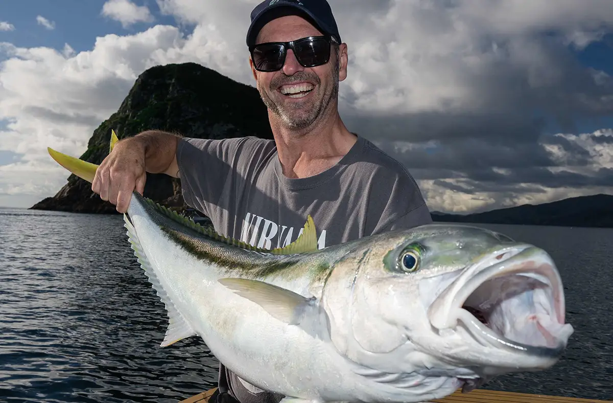
Kingfish tend to show as a loose stack elongated sausage shapes, often in mid water but not necessarily in that classic haystack shape. Paying attention to the depth kingfish are marked is particularly useful when targeting them with live bait. For example, if you are fishing a total of 120 metres of water, with kingfish sitting at 70 metres, rather than hitting the bottom and winding an arbitrary quantity of line up to the approximate depth, trying using pre-marked multi-colour spectra and deploy exactly 70 to 80 metres of line, thus ensuring your bait is sitting in the middle of the kingi school.
Hapuka and bass are commonly marked as blue dots very close the bottom. Remember, this is because you are marking them in very deep water so the return signal is pretty weak. If you are lucky enough to mark these species in shallow water, they would probably show as very well defined red eyebrows.
And now for marlin. There’s not much to say really. If you trolling along in deep water and you mark a large eyebrow in the top third of the water column, it might pay to put your cup of tea down. He’s coming, ready or not.
Important sounder technology

Modern hi resolution sounder screens offer significantly improved target definition, particularly at greater depths. Look for CHIRP capable units and transducers.
CHIRP
Most of the major manufacturers offer CHIRP (compressed high-intensity radar pulse) sounder technology. It’s complicated science. The summary is that CHIRP allows the user to send more powerful signals into deeper water, receiving stronger signals in return.
While of marginal benefit in shallow water, CHIRP offers far greater signal discrimination in deeper water and is worth the investment for those with great ambitions.
It is essential to pair a CHIRP head unit with a CHIRP capable transducer. In fact, I would advise installing the highest quality transducer your budget will afford in order to ensure it is future proofed for any upgrade of the head unit at a later date.
Side scanning sonar

Side scanning sonar is more akin to a TV picture, than conventional sounders. Pictured, is a version from manufacturer Navico, who produce Simrad
and Lowrance.
In recent years, side scanning sonar, which was originally developed for commercial seafloor exploration purposes, has been released for recreational fishers. It produces a picture more akin to a pair or television screens than a conventional fish finder.
While recreational side scanning technology can be used to spot fish, most notably bait schools, due to the high degree of signal scatter it’s a technology better suited for those keen to make the most of the physical bottom structure on offer, such as divers and crayfishermen.
That said, I do know a couple of rock-awash softbait enthusiasts who swear by it when working rocky coastlines. Again, the quality of the transducer is of utmost importance.
Forward scanning and down scanning sonar
In my opinion this technology bridges the gap between side scanning sonar and true 360˚ sonar, albeit on an upper-end recreational fisher's budget.
Custom transducers produce a range of live and historical pictures in front of and under the boat.
Impressively, some products, such as Garmin’s recently released Panoptix system, claim to be able to see fish chasing and attacking a lure. I look forward to seeing this product tested soon.


Simrad's scanning sonar products offer incredible resolutions with comprehensive data. The brand's range covers most consumers from the mid to high end recreational user, right up to the most demanding commercial operators on the ocean.
Full 360˚ sonar
The easiest way to explain this technology is to imagine a radar picture underwater. This is serious gear, for serious fishos and requires a serious financial investment.
A typical unit can be altered to operate in a manner suiting the application, including bottom and forward sweep when bottom fishing and in a 360˚ radar-like sweep when looking for bait schools or chasing pelagics like marlin and tuna.
Is it worth it? If you’re a hard core marlin guy and have already invested in the best boat and gear, then I think it is.
A good example of using 360˚ sweeps to improve fish catching would be when livebaiting for billfish around bait schools. The sonar will allow you to stay in touch with the school, a tactic all but impossible when the schools aren’t showing on the surface. This technology can even spot a marlin and allow the skipper to position the boat appropriately.
Historical data
Many modern sounder/chartplotters allow the recall of recent historical data. It’s particularly useful when scoping new ground in detail before settling on a specific spot to fish.
For instance, you can scan a ground marking good spots on the chartplotter for a few minutes, then scroll back through the sounder data and identify the most potentially productive looking location. The chartplotter will be able to pinpoint exactly where on the ship’s track the hot spot was.
Image stabilized binoculars
“Never forget to look out the window”. It’s the best advice I’ll ever give a fellow fisherman. And if you want to add a little more power to that view consider investing in a set of image stabilizing binoculars.
The ability to spot working birds, or better still, birds getting organized to dive, thus allowing time to reach the action before it peaks, is a skill guaranteed to get a desperate angler out of a fishless corner. Image stabilized binoculars will deliver this talent for those practiced at using them.
The image stabilization part is essential, as anyone who has used conventional binos on a bouncing boat can attest to.

I’ve tried a few brands, including both Canon and Nikon’s offerings. My preference at the moment is the Nikon set. Canon image stabilizing binoculars are priced between $750 and $1700. Nikon Stabileyes will set you back around $3000.
Get used to watching the direction birds are flying. Gannets going in the same direction is a solid sign.
I like to concentrate my efforts away from the sun as its easier to pick up white birds high above the water with sunlight on them. I look for both birds in the sky and the general direction of travel of birds over a wide area. If they are all going the same direction, so should you.

Broadband Radar for bird spotting
Exactly as it sounds, modern broadband radar is capable of spotting working birds at a distance many times further than unaided eyesight.
Obtaining an echo from such hard-to-detect targets relies on conditions with little or no interference; that is, it needs to be calm with no rain. A good unit will work in cloudy conditions; again, provided there is no precipitation.
If you are serious about bird spotting radar you will need a minimum 4 kW open array (not a radome) scanner; a 6 kW scanner is much better. Most experts also suggest a large, high resolution display to give the user the best chance of tracking small targets a few miles off.
It is important to realize this is a solution for the serious user and it’s going to take practice to get proficient at spotting birds. A mate of mine who runs a whale watching boat swears by bird spotting radar, but he has the best gear and many thousands of hours on the water.

Web/app based technology and the "formula for fish"
A swathe of data is available on the web and in apps for the tech-savvy fisherman who knows where to look for it.
Premium user sites like FishTrack.com offer SST, current and chlorophyll-bearing plankton data in a web overlay.
Skilled users can use this information to find the formula for fish – (temperature + bait) x current = fish10
In simple terms, nutrient rich cold water feeds the phytoplankton, which forms the base of the food pyramid. Various bait species carried by strong flowing currents congregate on the margin areas to feed on the plankton. Predators living in the oxygen rich but comparatively empty warm water also use these currents as highways to find the bait fish in warm/cold margins.

Garmin Panoptixs
Sea surface temperature (SST)
To a greater or lesser degree, sea surface temperature is important to most species of sport fish. Top snapper fisherman will use it as an indicator of which line migrating fish will be sitting on when heading into places like the Hauraki Gulf to spawn. Pelagic fishermen hunt for warm marlin bearing water as it approaches the coast in the early summer.
The key to success is more aligned to the gradient of change than the specific temperature. Areas of very warm water pushing hard into cool, nutrient rich water are often loaded with fish of every species in a feeding frenzy. These 'temperature breaks' are strongly associated with areas of high current.
Current
No run, no fun. When the current drives warm water (in New Zealand it’s all about warm water currents whereas in the tropics its often about cold water currents) into a body of cold water, fish magic happens.
By studying a live sea current overlay, it is possible to predict the highways carrying fish. Add sea surface temperature, chlorophyll and a structure to the picture and skilled user can draw circles around likely “hot bite” zones.


Garmin's developments in various versions of scanning sonar, under the brand name Panoptixs, are impressive.
Chlorophyll imagery
Chlorophyll imagery is used to directly indicate the phytoplankton densities. As the base of the food pyramid, phytoplankton is the essential to the entire biosphere. This is where the bait fish will be and sooner or later, the predators.
Strong boundaries between cold, nutrient and plankton rich water and warm, blue water are excellent places to find predatory pelagics. Again, current is the driving force here.
Sources of SST, currentand chlorophyll data
FishTrack.com is the best all-in-one data source I have found. It’s only real draw back is the quality of it bathymetric overlay, which is questionable at best.
Other sources of data include Niwa.co.nz and Swellmap.co.nz
Tide times, bite times, moon phase and more

Basic tide flow data in realtime is now available on Lowrance systems. For offshore current data consider web applications like Fish Track.
Long thought to be the pseudoscience of fishing, the relationship between the moon, the sun and daily fish feeding cycles is now well understood and accepted.
Tide times
Yet again, the tide times are all about current and its importance to fish activity. I find the time just after the change of tide to be the best. I also prefer the low tide change to high tide.
Bite times
Bite times are pulled from Solunar tables, which relate to the position of the moon in conjunction with any given point on the earth. There are four solunar bite times per day, two major bite times when the moon is either rising or setting, and two minor bite times when the moon is directly overhead or underfoot.
Moon phase
I think most people realize the moon has four stages to its monthly cycle – full, new, first quarter and last quarter. In my opinion, the best fishing is in the lead up to the full moon (but not during) and in the lead up to the new moon (but not during). No doubt I’ve opened myself up for debate here; this is just my opinion.
Sunrise and sunset
The early bird catches the fish; so does the late bird. Fishing on the change of light tends to be the most reliable time of day to get a bite. I prefer kingfish first thing and snapper in the evening.
Sources of data
Many websites and magazines publish this data. Ours is on pages 111 and 112 of this very issue. Consider taking the time to align the solunar bite times, the change of tide and the change of light to find the ultimate fishing times.

Parting message
As stated in the intro, one of New Zealand’s most famous charter fisherman was recently quoted as saying that of all factors, advances in technology have had the most profound long-term impact on the sustainability of fishery.
As fish have got harder to find, technology has allowed us to get better at finding the remaining resource. It doesn’t take a smart man to realize that without good management, this is a cycle without a good result. Use the power of your wallet wisely.
Tuning bird spotting radar
Switch the radar on and allow the automatic tuning system do its work. Then switch to manual mode, and adjust as follows:
With range set to four nautical miles, set the pulse-length control (if available) to long.
Crank the gain up until the screen is entirely covered with a light background speckle.
Dial the sea, rain and FTC clutter controls down to a minimum or off.
Look for dense clumps of tiny echos – something like a small rain squall. Some radar systems offer colour control for density differentiation and with practice this will help you separate birds from other targets of a denser nature.
IMPORTANT Such a set up is not ideal for navigation and a radar should be retuned to navigation mode when the vessel is in transit.
reference Powerandmotoryacht.com